Eritrea
Eritrea
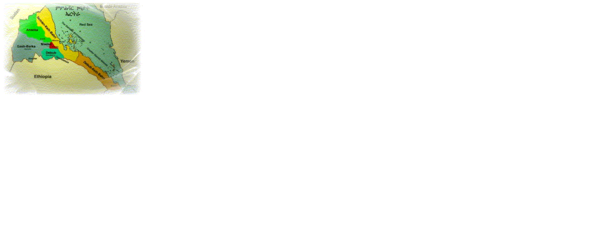
Eritrea, independent state in Africa, bordered on the east by theRed Sea, on the south-east by Djibouti, on the south and west by Ethiopia, and on the north and north-west by Sudan. Formerly under Italian control, Eritrea was taken over by Britain during World War II and was a British protectorate from 1941 until 1952, when it was federated with Ethiopia. The creation of an Ethiopian unitary state in 1962, in which Eritrea was incorporated as a province, helped to provoke a long war of liberation that culminated in Eritrean independence in 1993.Eritrea has an area of 121,144 sq km (46,774 sq mi). Asmara is the capital and largest city. Rivers and Lakes A number of rivers drain the plateau and highland regions. The Gash (or Mereb), the Baraka, and the Anseba flow from the plateau west into Sudan, while the Falkat, Laba, and Alighede flow from the northern highlands to the Red Sea.

Eritrea map